A DEM upscaling method with integrated valley lines based on HASM

Abstract
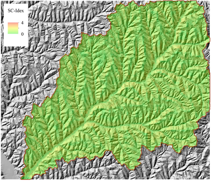
A new digital elevation model (DEM) upscaling method based on high-accuracy surface modeling (HASM) is proposed by combining the elevation data of the DEM and the extracted valley lines for different flow accumulation thresholds. The proposed method has several advantages over traditional DEM upscaling methods. First, the HASM ensures the smoothness of the upscaled DEM. Second, several DEMs with different topographic details can be obtained using the same DEM grid size by incorporating the valley lines for different flow accumulation thresholds. The Jiuyuangou watershed in China’s Loess Plateau was used as a case study. A DEM with a grid size of 5 m obtained from the local surveying and mapping department was used to verify the proposed DEM upscaling method. We established the surface complexity index to describe the complexity of the topographic surface and quantified the differences in the topographic features obtained from different upscaling results. The results show that topography becomes more generalized as grid size and flow accumulation threshold increase. At a large DEM grid size, an increase in the flow accumulation threshold increases the difference in elevation values in different grids, increasing the surface complexity index. This study provides a new DEM upscaling method which is suitable for quantifying topography.